| Parish/District | Wrawby |
| Location | Now in the garden of Tong’s Farm |
| Category | Boundary stone |
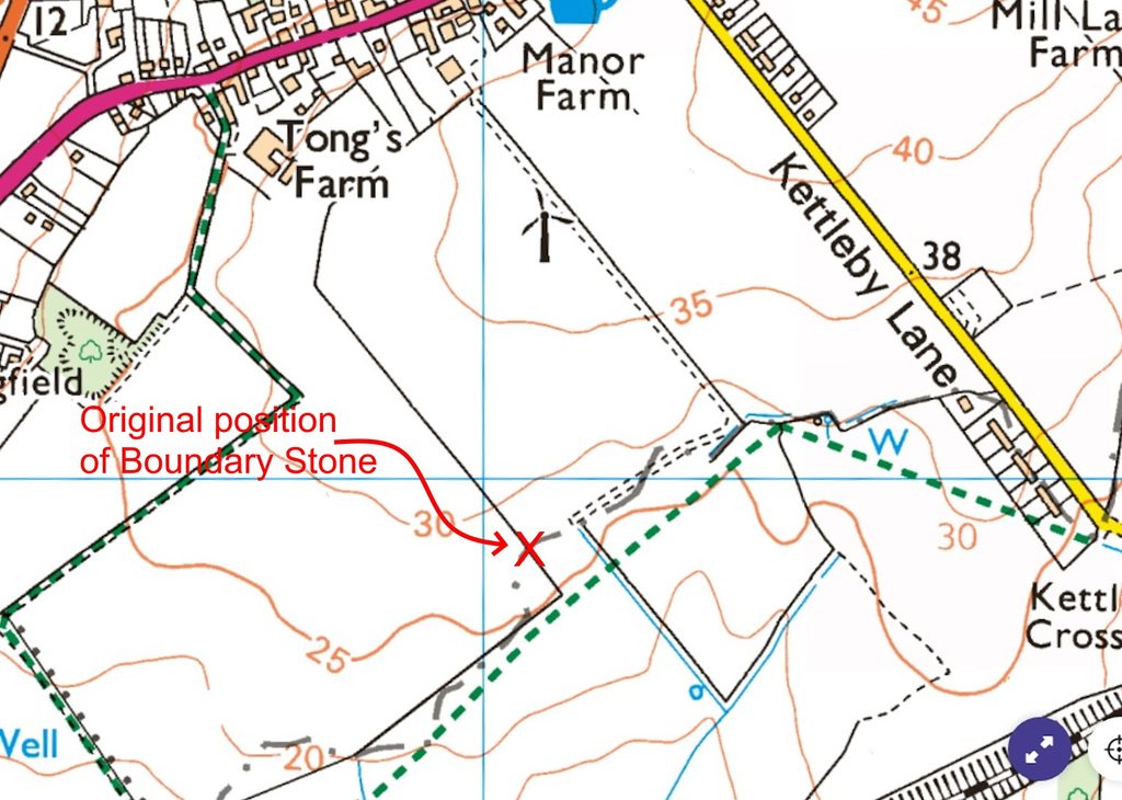
| National Grid Ref | Originally at TA 02054 07917 now c. TA 01727 08410 |
| Designation | None |
| Stone Type | Limestone |
| Refs | – |
| Visits | – |
This record is not of a cross but of an unusual boundary stone that survived at Wrawby and was in situ until very recent times.
The parish boundary at the south of Wrawby parish (adjoining Bigby parish) once followed a meandering stream marking the boundary. The stream was re-routed sometime in the early 20th century.
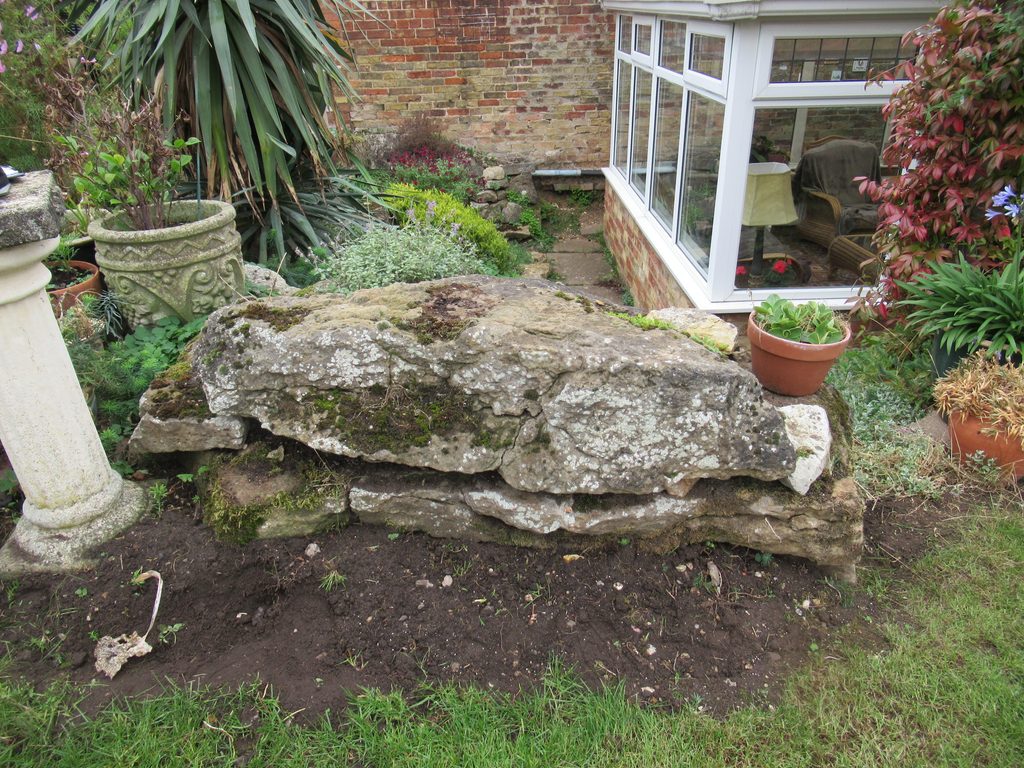
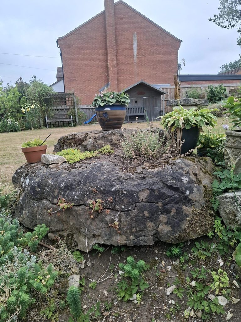
This boundary point was marked with a large, irregularly shaped boundary stone – a flattish boulder measuring nearly 6 x 4 foot by 15 inches thick.
The boundary stone was positioned at the edge of the field at the point where the stream had once flowed until recent years when, for ease of agriculture, it was moved up into the garden of Tong’s Farm.
The boundary line – once a mere parish boundary – is now designated a county boundary as it demarcates Lincolnshire County and the unitary authority of North Lincolnshire. It may have been rationalised (straightened) in recent years, although it is still presently shown as a wobbly line on Ordnance Survey mapping.
I am indebted to Jon Sass MBE for the information and photographs relating to this boundary marker.